BOM predicts wet and cool spring for the west

Oliver Brown
01 September 2021, 2:27 AM
 The Bureau of Meteorology is predicting a warm and wet spring this year across the east part of Australia, including regional NSW.
With today (Wednesday 1 September) marking the first day of spring, regional residents across western NSW are being told to expect a wetter and cooler season for this time of year.
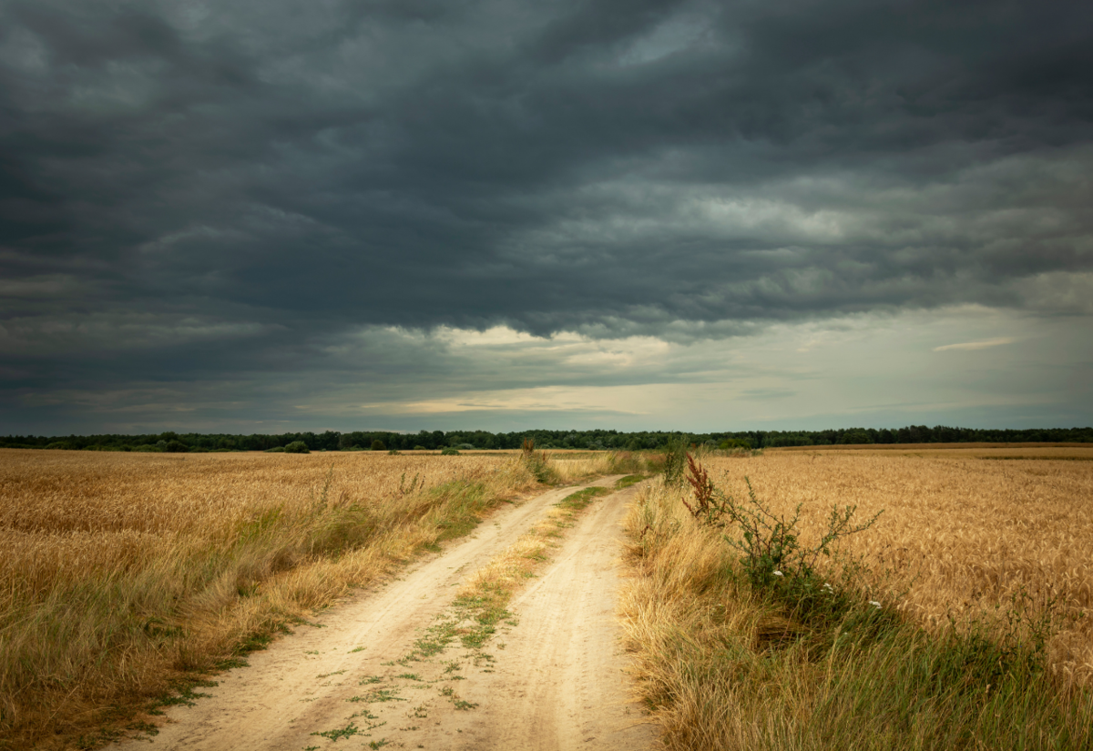
The Bureau of Meteorology says this spring is likely to bring above average rainfall for people across eastern Australia as well as cooler days and warmer nights.
Bureau meteorologist Jackson Browne said there was a greater than 80 per cent chance the median spring rainfall would be exceeded and a 35-40 per cent chance of the region exceeding the median maximum spring temperature.
"Increased cloudiness and rainfall will drive lower temperatures," Dr Watkins said.
Bureau climatologist Dr Andrew Watkins said the Bureau's predictions for a wetter and warmer spring come after a particularly wet and warm winter.
"Nationally, we've seen the wettest winter since 2016," he said.
"Australia's average winter temperature is also expected to be one of the ten warmest on record, particularly in the tropical north."
It should be mentioned the Bureau's forecasts do not always come to pass as expected for all areas however.
In July, though several parts of NSW recorded very high total rainfall - some of which broke decades-old records - no towns in the Western Plains recorded this kind of spike.
Instead, some recorded record-high July temperatures on 31 July, including in Brewarrina (31.2 degrees), Cobar (26.3 degrees), Lightning Ridge (28.8 degrees) and Bourke (31.8 degrees).
Furthermore, though the Bureau had predicted wetter than average conditions during August, members of the Darling Basin Authority reported that conditions in the region had actually been drier than average in the early part of the month, specifically in the Upper Murray catchments.
Moving into the new season, Mr Browne said the Central Western Slopes and Plains district - which encompasses the majority of the Western Plains - and surrounding areas would see mixed weather over this first week of spring.
"We're predicting very warm temperatures and dry ahead of a front during Thursday and Friday with maximum temperature anomalies 8-10C above the September mean," he said.
"The front eventually moves through during Saturday, markedly dropping maximum temperatures to 4-8C below the September mean.
"It will remain cool to cold behind the front with rainfall totals around 10-25mm south of Cobar to the Vic border with falls generally below 5mm south of Bourke.
"Finally, there will be a slow-moving high which will reinforce stable, cooler than average conditions across inland NSW heading into next week."
Specific links to Bureau of Meteorology forecasts for towns across the Western Plains can be found here.