Castlereagh rising fast downstream of Gulgargambone
Lee O'Connor
27 November 2021, 8:47 PM
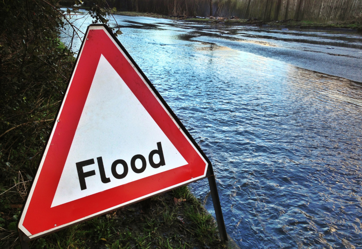 Coonamble SES unit warns roads are likely to be cut as floodwaters rise this morning.
Major flooding is still likely at Coonamble from this morning (Sunday 28 November), similar to the 2010 flood event, despite official readings from gauges further upstream showing a lower-than-expected peak of 6 metres at Gilgandra on Saturday night.
The NSW State Emergency Services this morning advised the Western Plains App that the Castlereagh River flood peak is likely to cause major flooding at Coonamble, exceeding the moderate flood level (4.90m) this morning.
Floodwaters are expected to spill from the river south of Coonamble at 'Nine Pines' and to cut the Castlereagh Highway. That water is also expected to cross the Coonamble to Baradine Road just east of Coonamble township.
"It is almost a given that it will cross the highway," said Coonamble SES Chief Inspector John Lewis. "At 5am we had a report that the water was over the bridge at Gulargambone (on the Warren/Quambone side) and up around the phone box in Lions Park opposite the hospital there."
"The water is coming up really fast across the Back Combara Road," he said.
"It's rising as fast as we've ever seen it."
According to Mr Lewis, the telemetric gauge monitoring the levels on the Castlereagh River between Mendooran and Gilgandra showed a peak of 6 metres where local members physically on site advised that the peak actually measured 8 metres.
Mr Lewis said the river height is building due to local run-off and because the creeks that usually carry water away from the river are already full.
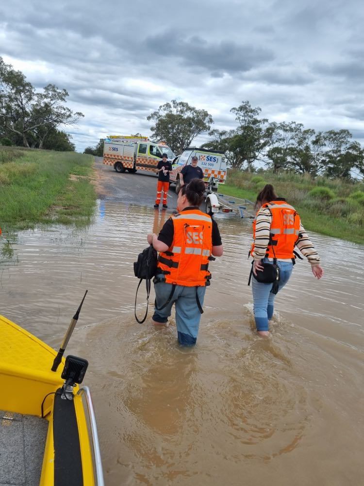
*Coonamble SES members help Quambone residents cross the Euronne Gully earlier this week.
"The flood is getting bigger as it's coming because there's been so much rain right throughout the catchment and it's feeding away really slowly," he said.
"For instance we've already been boating supplies and people across the Euronne Gully on the Coonamble to Quambone Road when the river wasn't even full."
Overnight the SES were working to assist a landholder in the area around Gungalman, between Coonamble and Carinda, who has stock stranded in the floodwaters.
"He has cattle standing belly-deep in water already, so we're trying to see if we can get a helicopter in there to help him get them out," Mr Lewis said.
The river level may reach around 5.20 metres Sunday morning, with major flooding anticipated.
There will be extensive rural inundation of low-lying areas along the Mowlma Creek.
Both the Wingadee Road and the Combara Bridge are also expected to be impacted by floodwater.
"The water is coming up really fast," Mr Lewis said.
"I would remind everybody not to drive through water. The SES is really stretched for resources and we don't need to be pulling people out of cars in creeks or on flooded roads."