Don't put the winter clothes away yet

Laura Williams
20 September 2021, 10:07 AM
 A shift in weather is expected over the state as a cold front comes across from the West.
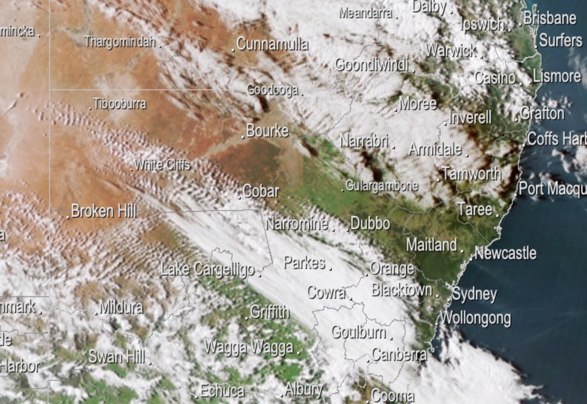
After a sunny start to the week, the Western Slopes is expecting to see a chillier Tuesday, with a cold front coming across from the West bringing a drop in temperatures of up to 10C.
According to Bureau of Meteorology Forecaster David Wilke, winds will continue into tomorrow with a chance of light showers overnight.
“There is a chance we could see some isolated snowfall in the higher country around Coonabarabran,” Mr Wilke said.
While significant areas of NSW and the ACT will see gusty and potentially damaging wind conditions, the Western Plains are largely sheltered from extreme winds.
Warnings have been issued that winds could potentially damage trees and powerlines, with NSW State Emergency Service is urging people to clean-up loose items around their properties.
The late September snow is expected to fall across the state, along the ranges through to the Queensland border, across the Central Tablelands and possibly to the Northern Tablelands and higher parts of the Northwest Slope and Plains.
“It’s likely only a one-day event,” Mr Wilke said, with temperatures expected to return to the mid-twenties by Thursday.
Drivers around Coonabarabran and travelling in areas receiving snow are urged to drive to conditions, where snow and ice may lead to dangerous conditions on roads.