Evacuation orders for parts of Bourke
Danny Hanrahan
29 October 2022, 5:40 AM
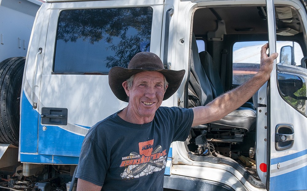
 Les (Splinter) Bunyon at work on the levee around Alice Edwards Village. PHOTO D Hanrahan.
Residents of the Alice Edwards Village at Bourke are being told to prepare for evacuation and work will commence immediately on their levee this weekend as authorities prepare to deal floodwaters at levels that are almost impossible to predict.
Bourke General Manager, Leonie Brown viewed the floodwaters from a helicopter after a meeting with emergency service representatives yesterday Friday 28 October, 2022.
Ms Brown said, “There is currently so much water on the floodplain it is proving very hard to predict accurately and there is a lot more water to come. We are lucky we have time to plan, one of the benefits of living downstream”.
Ms Brown announced the NSW state government has generously provided funding for the upgrade of the current Alice Edwards Village and Louth Levees.
The Alice Edwards Village levee will be raised to 15.0 metres, commencing immediately. The levee was originally built to engineering standards.
The Louth levee is in a state of disrepair as it was constructed by locals reacting to past flooding emergencies. The levee will be raised to 14.0 metres and built to engineering standards.
The Darling River at Bourke is currently at 12.74 metres and rising with major flooding as observed by a manual reading of the gauge a the automatic gauge is currently under-reading by approximately 0.09 metres.
SES spokesperson Mr Dave Rankin said, “It’s not uncommon for these automatic gauges to be hit by debris or become clogged with sludge and give a false reading”.

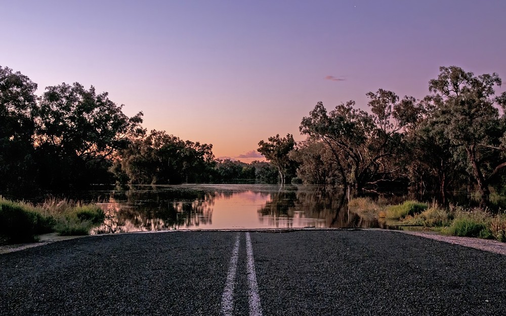
Parkdale Road at Bourke.
The majority of Bourke is protected by a levee, built to contain river levels in excess of 15 metres.
The SES has confirmed, however, that residents of Alice Edwards Village will become isolated and experience major flooding when river levels reach the 12.9 to 13.0 metre level. The SES and other organisations will door knock all village residents over this weekend of 29 and 30 October 2022.
“All residents of the village will be advised that they should prepare to leave and seek shelter with friends or relatives in Bourke. Emergency accommodation across the region will be found for all residents unable to obtain alternative shelter. Residents may choose to stay in some cases and have been advised to stock up on all provisions to last at least a month,” Mr Rankin said.
The SES have been extremely busy making plans for Bourke for the coming months. The SES have a number of high clearance UNIMOGs (high clearance 4x4 trucks used by Australian armed forces) on standby across the region as well as six helicopters in case they are required for any emergency.
“The Bourke to Cobar Road and Mitchell Highway reached 13.9 metres during the 2012 flooding and was then closed to light traffic. There is a possibility this will occur again around the third week of November resulting in road closures for up to two weeks,” Mr Rankin said.

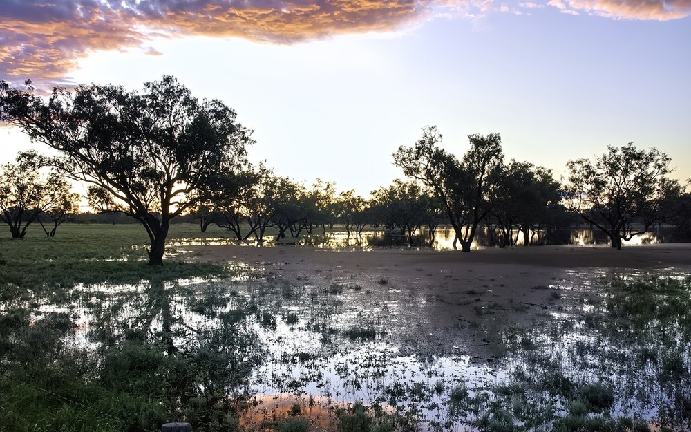
Water is rising in the Polygonum Swamp four kilometres east of Bourke. This photo was taken on Thursday 27 October.
Mr Rankin strongly advised all residents across the affected area to immediately contact the SES on 132500 if they require assistance. “Contact the SES if you are unsure of your current or future flood levels and we will assist with planning,” he said.
Bourke locals are also busy preparing, especially those zoned as rural and outside of the Bourke levee.
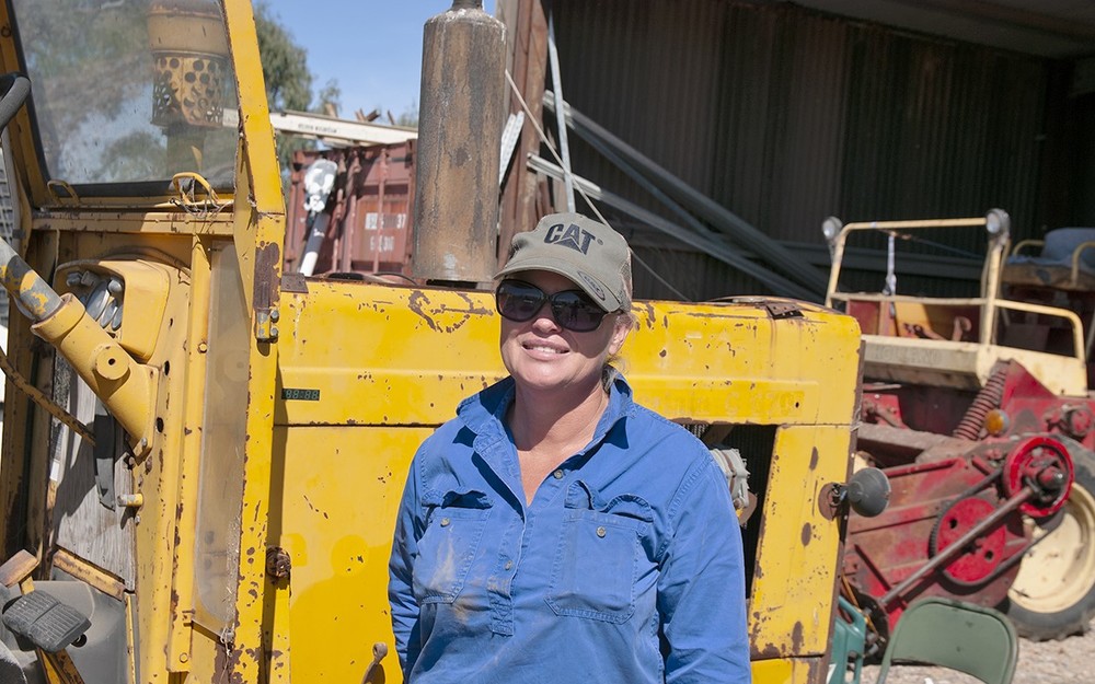
Jess Goulden has been working all week to build a levee around her garden, only for it to go under before they could finish.

Jess Goulden's family have been working to beat the rising floodwaters.
“We have been flat out saving a crop of Lucerne and getting it baled, ready for Sydney. The water came around the back and beat us. Now we are building our house levee, raising it to 15.0 metres. We also have to extend this levee right around the property, I just hope we have the materials and time”, Jess said.
Third generation property owner Rosco Williams explained that the current house levee alternated between 14.1 and 15.0 metres.
“We have to raise it to 15.0 metres and extend it around the property. Our houses and sheds are only at 13.1 metres. Every flood is unique, vegetation, catchment areas, roadways and modern development all contribute to different river flows and levels”, he said.
Another local Greg Simmons has property near the Polygonum Swamp in North Bourke.

Greg Simmons says tinnies are replacing trucks as the preferred mode of transport.
“A lot of people have dragged out their tinnies. It’s our only way to get around and across the river," he said.
"Take me the other morning, had to get up at 4.00am and get across to fuel the helicopters. I only had one light and that started to flicker.
"Next minute I had missed the entrance to the bank and was off down the river in the dark. Under trees and around the corner until I spotted another spot to get aground,” Mr Simmons said.
The dramas are expected to continue for Bourke if a further forecast rain event on Monday 31 October brings even moderate falls upstream.
According to the Bureau of Meteorology's flood warning issues on Thursday 27 October, the Darling River at Bourke is likely to reach around 13.20 metres during the second week of November with major flooding.
The river level may reach around 13.80 metres during the third week of November with major flooding.
To check local road conditions keep an eye on Bourke Shire and Live Traffic NSW .
To contact the SES for assistance please call 132 500.
In life threatening situations call triple zero 000 immediately.


