Floodplain data unplugged for Bourke community
Danny Hanrahan
26 October 2022, 6:22 AM
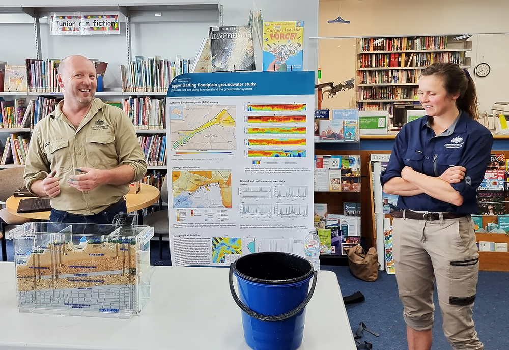
 Dr Sam Buchanan of Geoscience Australia during a session designed to unlock the secrets of underground aquifers. PHOTO D Hanrahan
Representatives from Geoscience Australia have presented data and information currently being gathered in the Upper Darling River Floodplain Ground Water study to a handful of curious Bourke locals this week.
Hosted by the Bourke Public Library on the evening of Monday 24 October, hydrologists Dr Sam Buchanan and Dr Sarah Buckerfield explained that the aim of the study is to identify and better understand groundwater supplies beneath the floodplain and its surrounds.
When combined with innovative water storage options, these groundwater resources could provide enhanced drought security and promote regional development. In the future fresh water parts of the aquifer could be used to pump water into, for use during droughts.
The irony of the flooded Darling River rushing past the library was not lost on the community members present as the quality and shortage of water during the drought was still at the forefront of their minds.
“The Bourke community may have noticed a helicopter carrying very strange equipment around a couple of months ago,” Dr Buchanan explained.
“This was part of the floodplain Airborne Electromagnetic Survey, (AEM) where electrical conductivity beneath the surface displays variations in rock and water properties, such as electrically conductive saline groundwater relative to non-conductive fluid, typically fresh ground water.”
Once the AEM data was analysed, Geoscience Australia began drilling new ground water bores for monitoring purposes, sampling groundwater bores for water quality and installing groundwater data loggers, all used to map the geology and aquifer system.
“This project is ongoing and we will continue to contact landowners across the floodplain for permission to gather data,” Dr Buchanan said.

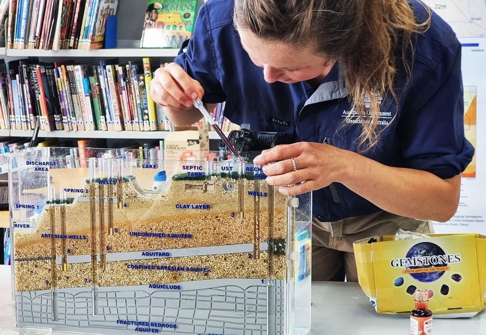
Dr Sarah Buckerfield explains how water enters into the aquifers and out of bores.
Dr Sarah Buckerfield presented a model of the floodplain and aquifer system.
“Once the aquifer is contaminated it cannot be fixed,” Dr Buckerfield said.
Demonstrations on bore leakage in the Confined Artesian Aquifer and the Fractured Bedrock Aquifer showed how important it is to understand and protect this valuable asset.
“All data and information collected by Geoscience Australia is available online - country people want to know what is in their backyard,” Dr Buchanan said.
Bourke Librarian, Jodie Hatch said “the library plays an important role in Bourke by hosting these community events”.
“We are very happy with the attendance and look forward to hosting Geoscience Australia in the future as their valuable study continues” she added.

The sessions by Dr Buchanan and Dr Buckerfield expanded the understanding of local groundwater systems for both adults and students.
Following the community session, on Tuesday 25 October, Stage 3 students at the Bourke Public School were lucky enough to have the team from Geoscience Australia visit.
Students loved learning about groundwater and how water moves through the subsurface based on the different properties of rocks.


