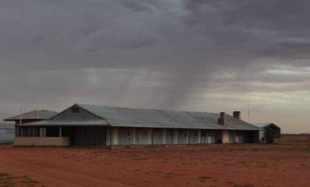
Heavy thunderstorms expected for north west NSW

Western Plains App
17 October 2024, 8:10 AM
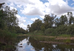
Heavy storm activity travelling from South Australia to the east coast is expected to hit the Western Plains area early tomorrow morning.
Northwest NSW has a heightened chance of getting struck by a supercell, bringing with it strong gusts of wind and severe hail, according to the Bureau of Meteorology (BOM).
The storm caused several warnings across SA, with wind gusts up to 90 kilometres per hour.
The more severe storms are expected to hit northwest NSW between 3pm and 9pm on Friday, including heavy rainfall, damaging gusts of wind, potential risk for flash flooding and a minor risk of hail.
Meteorologist Jake Phillips said that Bourke and Cobar may already have seen some lightning in recent days.
"Most of the storm activity has been further to the west but overnight we are expecting more storm activity to develop through the central parts of the state.
"Most areas can expect 10 to 20 mm but some areas could see an excess of 40 to 50 mm," he said.