Local towns in the 'red zone'

Coonamble Times
17 December 2022, 8:40 PM
 Residents in levee-protected towns like Coonamble are asking how their homes come to be in an insurance 'red zone'. This photo 2010.
IN A year when flooding has ravaged communities like Lismore and Forbes, homes in Coonamble, Bourke and Nyngan have mostly stayed high and dry.
Still, all three towns were again listed among the 'Top Ten High Risk Suburbs by 2050'* putting their residents in the 'red zone' where insurance will become unavailable for the majority of homes.
The latest report - called Australian National Climate Insights - comes from risk analysis firm Climate Valuation and shows Coonamble ranked 7th in New South Wales, just above Bourke (8th), Nyngan (9th) and Parramatta, based on the number of high risk properties.
The Wednesday 23 November edition of the Daily Telegraph reported that "more than three-quarters of Coonamble ... will be effectively red-lined - the insurance industry term for refusing to offer a policy on a property simply because of where it is."
Local home owners say that insurance costs have escalated with one resident's premium soaring from $2000 to $10,000 a year.
Many have ‘opted’ to waive expensive flood cover but argue that their properties have very low to no risk of being inundated and that insurance companies need to question the modelling supplied.
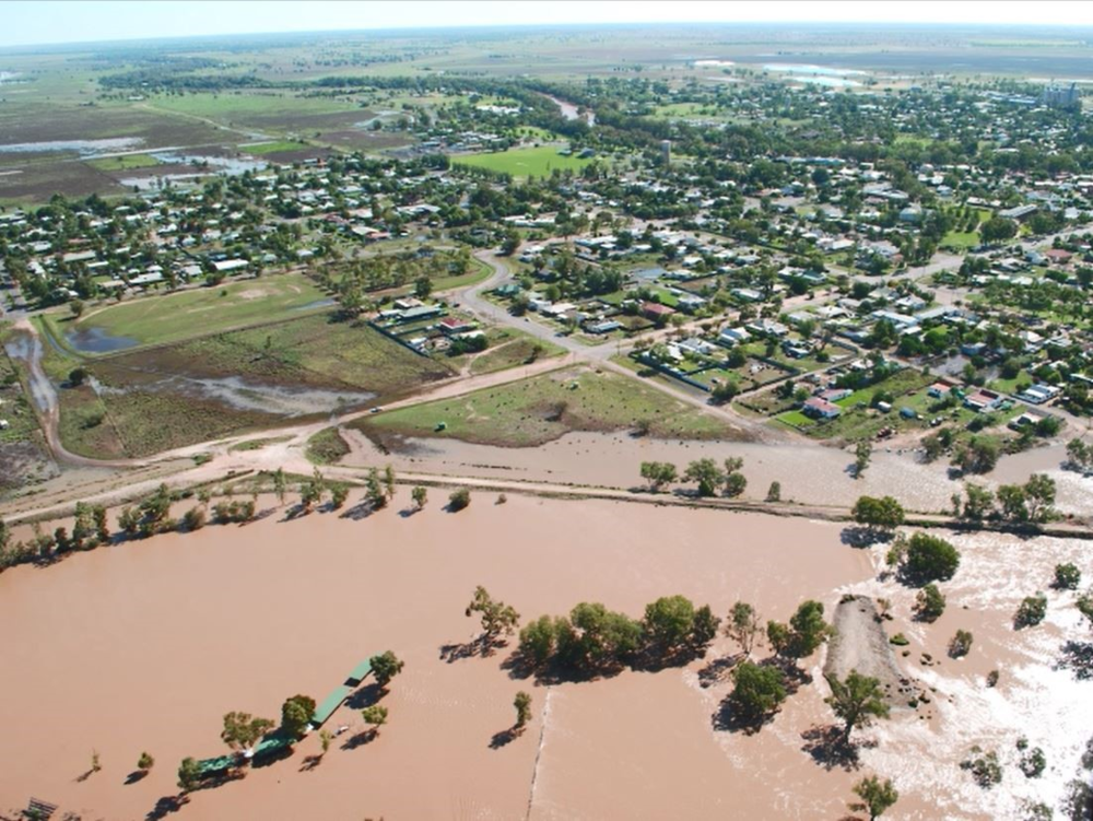
Coonamble township during the 2010 flood. Water inside the levee is from stormwater. Roofs visible in foreground are of the amenities block at the local waterskiing hole.
No homes in the town were inundated but insurance costs escalated dramatically post-flood.
Not the first time
It is just three years since the release of similar data in October 2019 compiled by risk profiling firm XDI.
At that time, Bourke was in top spot and Coonamble second with 70.8% — or 1,541 of 2,178 addresses — were predicted to be ‘uninsurable’ by 2050.
In 2022, Bourke has fallen to 8th and although Coonamble has dropped from 2nd place to 7th, the number of 'high risk properties' has increased to 1995 (more than 75%).
Do levees matter to the models?
There will still be a number of locals who remember the 1950 and 1955 floods that practically submerged whole towns and the 1974 flooding which also saw some homes underwater.
However the Coonamble levee bank that was completed in 1976 has never really been breached and, since it was upgraded and raised by 0.5 metres in 2020/21, continues to provide a protective barrier around the town.
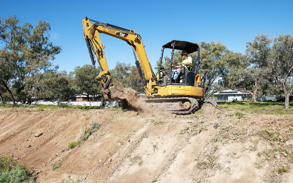
Some upgrade works underway on the levee around the Alice Edwards Village at Bourke in November this year. PHOTO Danny Hanrahan
While the modelling does take account of other factors like soil movement from reduced rainfall, bushfires, surface water flooding and extreme wind, it has been confirmed that these are minor contributors in the 'red zone' status of the western towns with 'riverine' flooding considered the biggest risk.
The models do not include hail, lightning strikes or grassfires.
Flood defences included
Climate Valuation (CV) have confirmed that they “use flood mapping developed by specialists in the field and in Australia that does account for flood defences [such as levees] and is regularly updated.”
“We use the specialist flood mapping as context, as well as local rainfall data and combine these with climate change modelling to model the changed severity and return frequency of rainfall events,” a company spokesperson said.
“We have a structural model that applies these conditions to property archetypes, such as residential homes, and analyses the extent of damage done to various components of that building by the various climate change hazards, based on engineering information built into the system.
“Buildings that experience damage that equates to more than 1% of the rebuild cost of the building are deemed “high risk.”

The 1890 flood in Bourke's main street - well before levee banks were constructed. IMAGE: Heritage for NSW
Curiously, places like Forbes, Wellington, Eugowra and even Lismore did not make the Top 10 in this latest data.
Re-valuation needed
Upgrades to levee banks, changes to building codes and practices and other prevention factors may or may not be taken into account by banks and insurance companies, depending on the climate modelling data they use.
Local residents in towns well-protected by levees still bear the costs of increasingly unaffordable insurance, potentially lower home values and difficulties borrowing, as well a reputation as a 'high risk suburb' that could deter new residents from moving.
The Western Plains App have been advised that modelling firms look to the insurance industry to "catch up with the latest data" and that if there is evidence they may be over-stating the risk in certain localities, a re-valuation can be requested.
This process is usually led by local government and the Insurance Industry Council.
“There is room for councils to advocate that the insurance companies should be reviewing their premiums in that community," said CEO of XDI, Rohan Hamden back in 2019.
“We are trying to foster the national debate. It is not just a local government problem. It requires a much bigger response.”