Local traffic goes live

Kristin Murdock
07 February 2023, 8:40 PM
 The expansion of the Live Traffic NSW network means local road information will be accessible for travellers. Image ABC
Live Traffic NSW has expanded to include some local road networks with Bourke, Brewarinna, Walgett and Warren Shire Councils now onboarded to help with keeping the system updated.
All four local councils have their live traffic information systems up and running.
According to Minister for Regional Transport and Roads, Sam Farraway, these are just four of 32 councils across the state that are being trained to use the platform.
Participating councils were chosen as they have previously been impacted by natural disasters such as bushfires or flooding. Mr Farraway describes this as a "major win" for people travelling in these areas.

“This means councils like Bourke, Dubbo and Forbes will be able to upload road closure and incident information to Live Traffic NSW in real time, which feeds data into third party apps like Google Maps, Waze and Tom Tom," he said.
“Thirteen of the 32 councils can be uploading their data from 23 January while the remaining nineteen are undergoing training to be able to do the same from 23 February.
"We know Live Traffic NSW is vital during emergency events. When major flooding started late last year, sessions on Live Traffic NSW increased up to 10-fold, so getting more accurate data for all of our roads in the one place is a big win for travellers."
Live Traffic NSW provides real-time information about roads and changed traffic conditions that may affect journeys on roads throughout NSW. Previously this did not include information for incidents on non- state government roads.
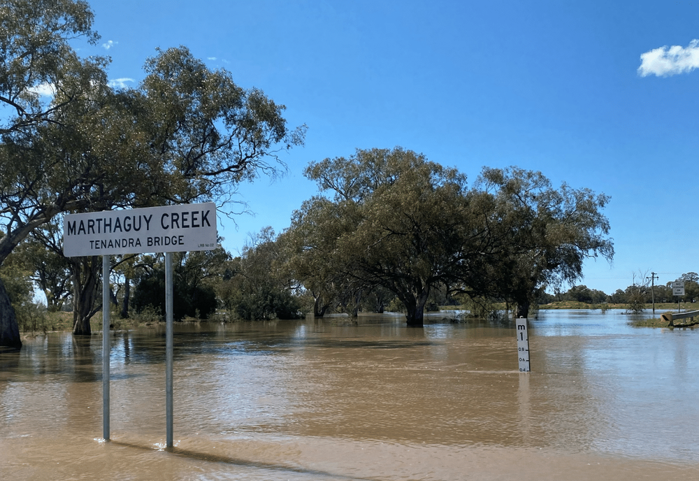
It is hoped Live Traffic will help stop travellers taking unnecessary risks on flooded or damaged roads. IMAGE: A Weston
Larissa Mallinson, spokesperson for Live Traffic NSW said the local councils were well equipped to take on the task.
"Councils have had training and are equipped to update live traffic," she said. "In some cases, council may have had to add extra staff but all are adequately resourced"
"Eventually we would like to see all Shire Councils across the state as part of this scheme but there is no time frame for this to happen at this stage."
Melanie Suitor, Lachlan Shire Council's Road Safety and Injury Prevention Officer said she welcomed the local introduction of the system.
"Any system that will help prevent injuries or accidents is a good thing," she said. "It is good for locals and tourists alike as road conditions can change instantly.
"Previously people have needed to contact councils directly to find out things like roads blocked from flooding. This new system means the information is at our fingertips."
LOCAL WEATHER

YOUR LOCAL MEMBER
