Minor earthquake recorded west of Wanaaring

River McCrossen
30 June 2025, 8:40 AM
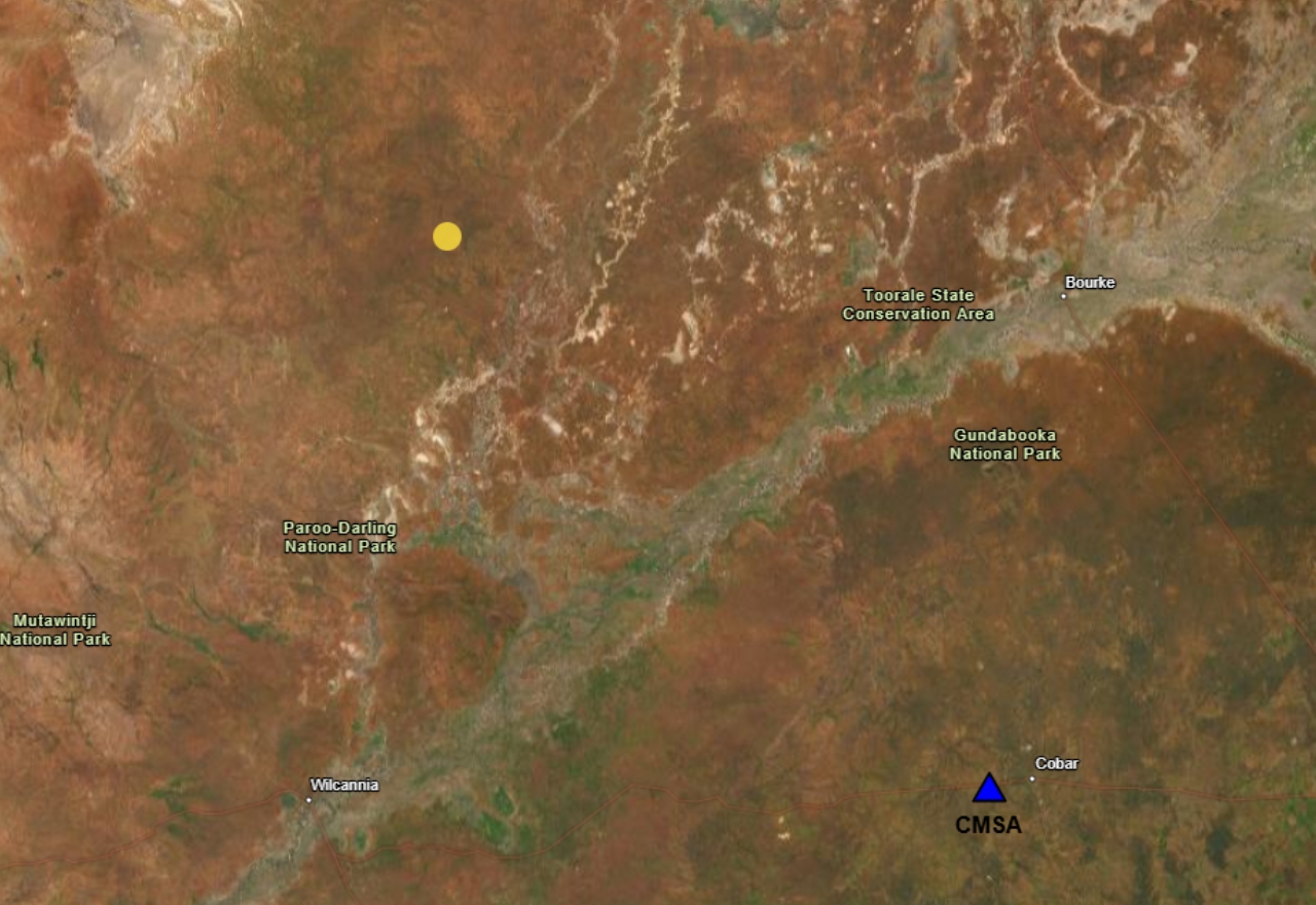 The epicenter of the earthquake, represented with the yellow dot, and the Cobar station that recorded it, represented with a blue triangle. [IMAGE: Geoscience Australia]
An earthquake monitoring station near Cobar picked up a 3.1 magnitude tremor at about 250 kilometres away on Saturday.
The station detected the quake at around 1:35pm on 28 June, emanating from an epicentre approximately 35 kilometres southwest of the town of Wanaaring.
So far no reports are on Geoscience Australia's 'Felt Grid,' which gathers public reports of feeling an earthquake.
"Nothing was felt here," Wanaaring Store and Caravan Park owner Colin Brown said.
"Nobody's mentioned it.
"I did sort of read about it, but that was all."
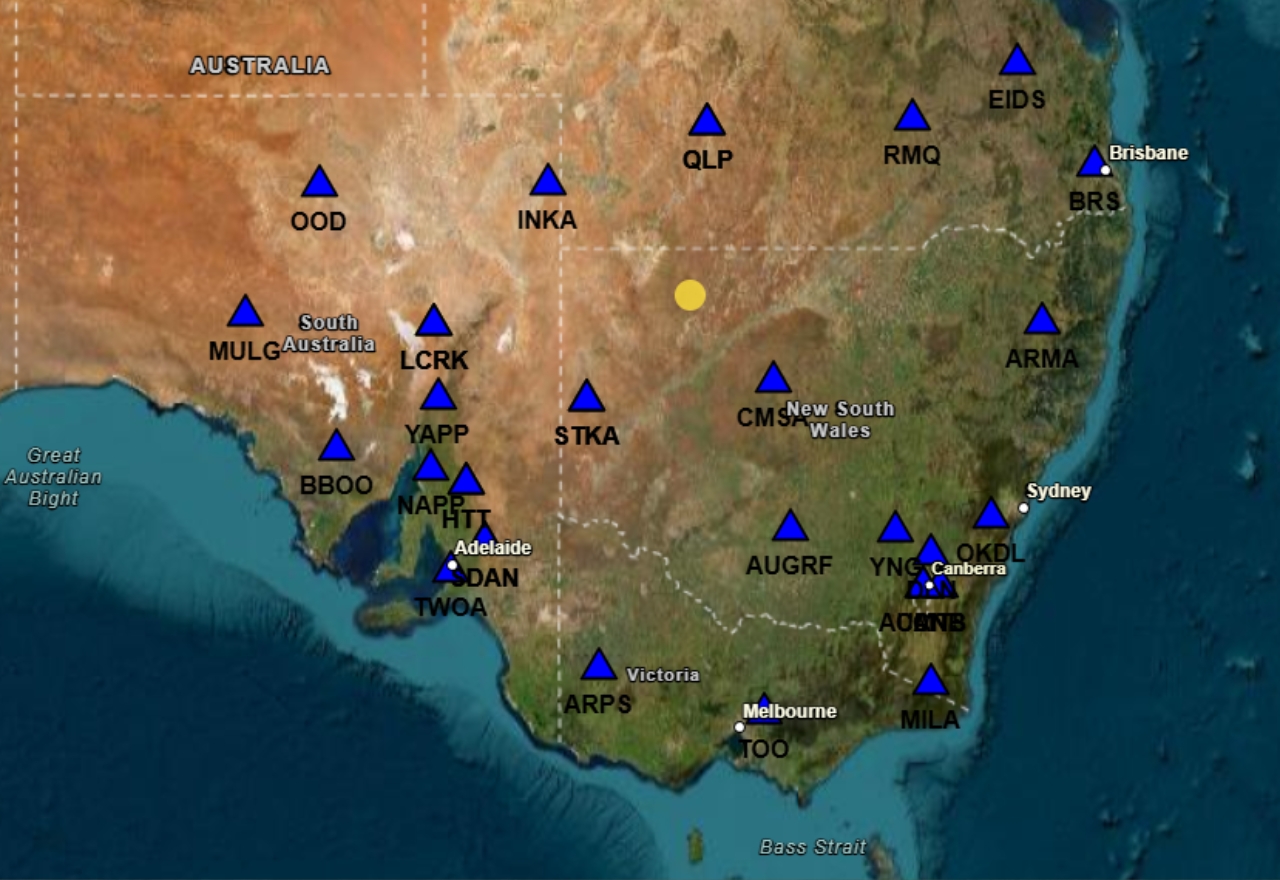
The stations where the earthquake was detected. [SOURCE: Geoscience Australia]
The scientific research agency reported that the tremor went ten kilometres deep.
Stations as far as 944 kilometres away detected it, including in Queensland, South Australia and Victoria.