More to come on the Macquarie River
Lee O'Connor
28 November 2021, 8:00 AM
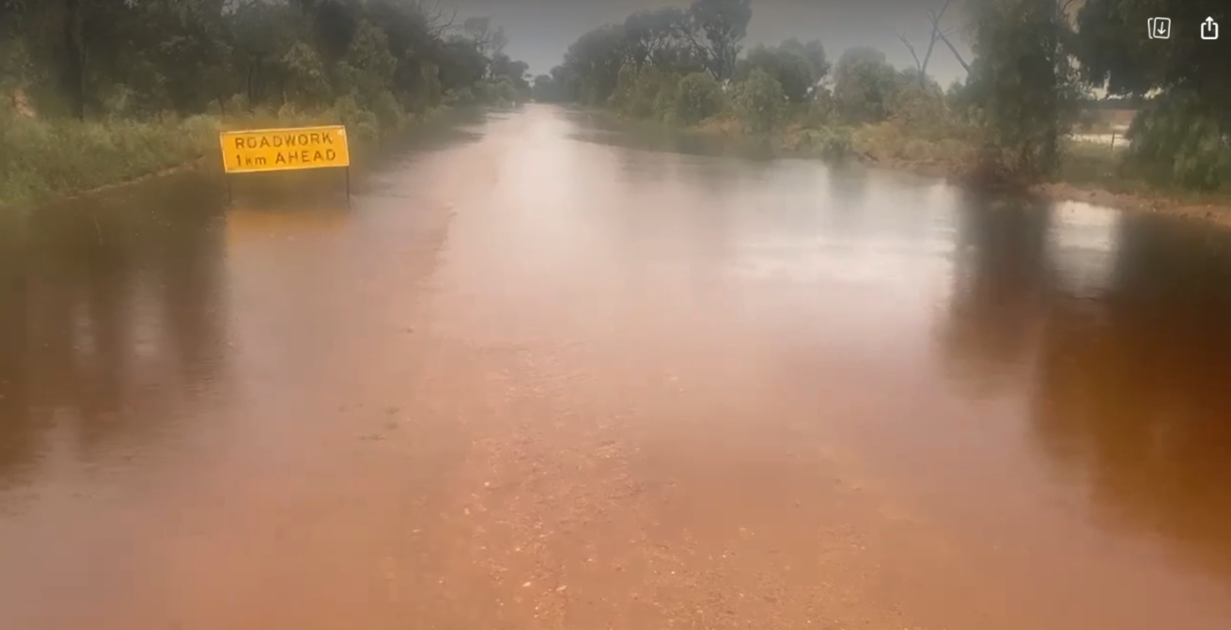 200mm in two days has turned roadworks into future floodworks at Raeburn Lane about 25km west of Narromine.
Minor flooding has occurred at Narromine and Warren today (Sunday 28 November) and more is to come for Warren with a major flood warning in place and the peak expected to arrive on Monay.
The Macquarie River at Dubbo Peaked at 6.1 metres around 8:00 pm Saturday night, with minor flooding.
On top of the water released from Burrendong Dam, heavy local rain that fell over a short period of time in the Narromine area on Thursday and Friday led to local flash flooding and stormwater inundation in the township.
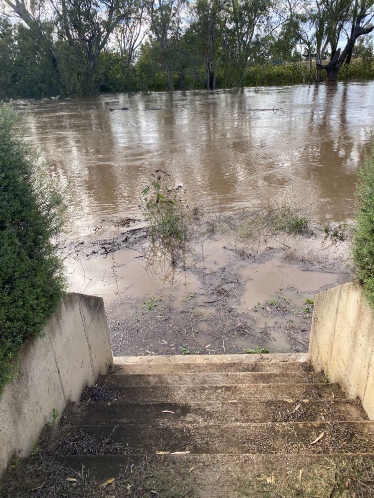
*Upstream of Gin Gin Weir today Sunday 28 November.
Narromine Shire Council staff were kept busy responding to a long chain of emergency calls and checking road conditions throughout the shire and erecting suitable warning signage.
All unsealed roads remain closed and the Burroway Road, Webbs Siding Road; the Warren Road, from the Weemabah intersection to Trangie Collie Road intersection, the Burroway Road to Dubbo and the Dubbo Collie Road in the Narromine Shire have also been closed with water over the roads in numerous locations.
The Bureau of Meteorology say it is assumed that the Macquarie River at Narromine has peaked with minor flooding. This will be confirmed once manual gauge readings are available.
The last reading available for Narromine was 8.15 metres at 8am this morning while the river was still rising.
Without a confirmed reading available, residents towards Warren will need to prepare for major flooding.
At the Gin Gin Weir the gauge read 11.11 metres at 4pm today.
At the same time the Warren Weir was 4.24 metres and at Warren Town 8.45 metres with both steady ahead of the peak.
The Macquarie River at Warren Town is expected to exceed the moderate flood level (8.50 m) today and the river level is likely to peak near 9.00 metres during Monday, with major flooding.
Bureaucracy putting the brakes on flood protection
While the current peak in the Macquarie River may have passed Narromine, with Burrendong Dam sitting at around 146% capacity, the bigger picture remains an ongoing concern.
"We like to keep it below 120%," said current Narromine Mayor Craig Davies. "We need five to six days to get it back to that, without any further inflows."
"We can't afford two events like we had last week."
Some areas of the shire have recorded 200 millimetres or more in the past week.
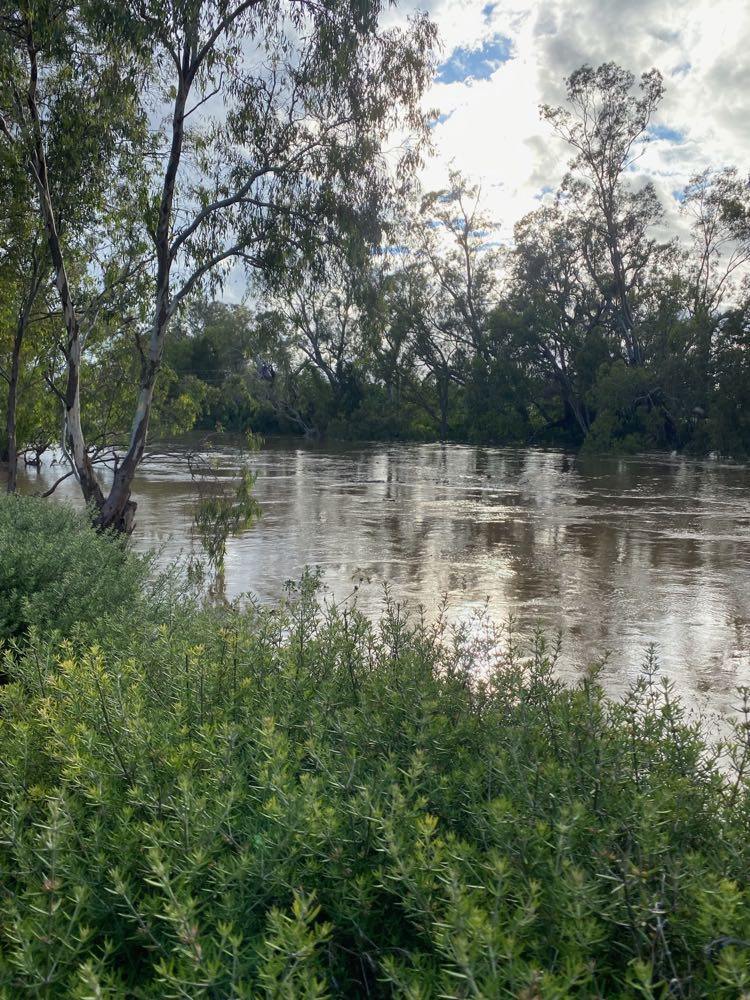
*Break outs are expect around Gin Gin in the Narromine Shire. PHOTOS courtesy C Davies.
Mr Davies says that the region's current flood situation throws into stark focus the need for better planning and approvals processes at the state level, with ongoing delays putting the brakes on a $23 million upgrade to the strengthen the town's levee.
"The red tape and the bureaucracy is just stultifying," Mr Davies said.
"Our first flood study was done in 1998. Since then we've had three subsequent studies and a peer review – there is nothing we don't know about where the water goes at Narromine."
"At the end of the day we've just got to get on with it."
According to Mr Davies there is at least $40 billion worth of development in the region that is currently at risk due to the state's slow and cumbersome planning and environment legislation.
He says he recently invited the new Premier Dominic Perrottet to hold a Cabinet meeting in Narromine early next year, so that he and his Ministers can hear first-hand from the region's Mayors about how the NSW planning laws are stifling development in the bush.