Record rainfall for Walgett and Lightning Ridge
29 March 2025, 6:40 AM
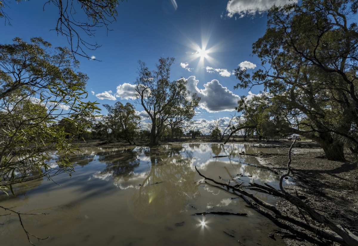 Image by wirestock on freepik
Authorities say rainfall records have been broken in the north west over the past 24 hours, as rainfall continues to cause flooding across the northern half of New South Wales.
The Bureau of Meteorology has recorded more than 158 millimetres (mm) of rain in Walgett and 138mm in Lightning Ridge in the 24 hours to 9am on Saturday, breaking daily rainfall records for those gauges.
At 9.30 this morning they released minor flood warnings for the Culgoa, Birrie and Bokhara Rivers.
The Culgoa River at Brenda was recorded below the minor flood level at 3.09 metres and rising.
It was recorded at 4.181 metres at 4.30pm, not quite the minor flood level of 4.90 metres.
Earlier today the Birrie River at Goodooga was measured at 3.21 metres and rising, above the minor flood level.
At 3:30pm it was recorded at 3.395 metres and rising.
It is likely to remain above the minor flood level (3.20 m) during Saturday.
The Bokhara River at Goodooga was 2.64 metres and steady this morning, below the minor flood level.
The Bokhara River at Goodooga is likely to exceed the minor flood level (2.70 m) Saturday morning.
It was recorded at 2.824 metres at Goodooga at 3:15pm this afternoon and rising.
A further 12.5mm of rainfall was recorded at Walgett from 9am to 6pm on Saturday 29 March.
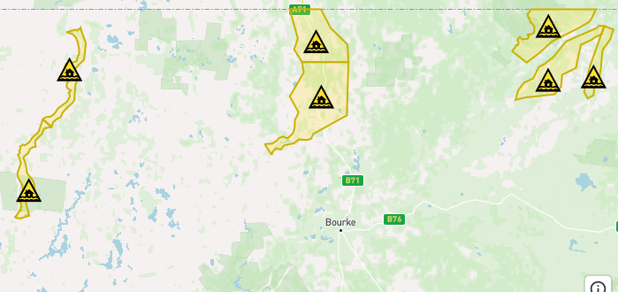
IMAGE: Hazards Near Me 6:30pm Saturday 29 March
Further west, a flood watch warning has been issued for the areas around Barringun, Enngongia, Willara Crossing and Wanaaring.
The Bureau of Meteorology advises moderate to heavy rainfall has been observed across the Warrego River catchment in Queensland since Monday.
This rainfall has resulted in areas of minor to major flooding along the Warrego River in Queensland.
As floodwaters arrive from Queensland minor flooding is possible along the Warrego River at Barringun from Saturday evening and at Enngonia from early next week.
Predictions for the downstream locations will be provided once the upstream peaks are observed.
Minor flooding may occur along the Warrego River (NSW).
The Warrego River at Barringun No. 2 is currently at 2.41 metres and rising, below the minor flood level. The Warrego River at Barringun No. 2 may reach the minor flood level (2.80 m) from Saturday evening. Further rises are possible as upstream floodwaters arrive.
The Warrego River at Enngonia may reach the minor flood level (2.00 m) from early next week. Further rises are possible as upstream floodwaters arrive.
Thanks to heavy rainfall across the Paroo River catchment in Queensland since last Sunday night there has been areas of minor to major flooding along the Paroo River in Queensland.
Minor flooding is occurring at Willara Crossing and is likely at Wanaaring from Monday.
As flood peaks arrive from Queensland, further river and creek level rises are expected along the Paroo River, with moderate flooding possible at Wanaaring from later next week.
Conditions were expected to clear slightly today with possible showers from Sunday.
The Paroo River at Willara Crossing is currently at 1.43 metres and rising, above the minor flood level (0.70 m).
The Paroo River at Willara Crossing may reach 3.30 metres around Tuesday, with minor flooding. Further rises are possible.
No latest observations are available at Wanaaring.
Based on upstream gauge, the river level is currently expected to be below the minor flood level (2.40 m). The Paroo River at Wanaaring is likely to exceed the minor flood level (2.40 m) on Monday.
The river level may reach around 3.70 metres later next week, with moderate flooding. Further rises are possible.
Based on predictions from the Bureau of Meteorology, the following areas may be impacted by dangerous floodwaters:
- Low-lying roads and bridges
- Low-lying farming and rural areas
- Low-lying areas adjacent to and along the rivers
- Any unsealed roads
WHAT'S ON