Roads to safety still ahead

Laura Williams
30 August 2022, 3:20 AM
 Sam Farraway said there is 'a view' to include all LGAs in the future, but nothing is set in stone so far. (Image Supplied)
Safer road conditions are creeping closer to the Western Plains with Life Traffic NSW expected to reach all LGAs across the state by 2024.
LGAs in the Western Plains fell short of the 22 councils announced this week who will have instant access to update the Live Traffic NSW feed, although Moree Plains and Central Darling were selected.
While we may have to wait our turn, Minister for Regional Transport and Roads Sam Farraway said the plan is to include every LGA within the next two years.
“We’ve taken on feedback from communities and recommendations from the Royal Commission into National Natural Disaster Arrangements Report to develop ‘OneRoad’, a backend portal for councils to feed data into Live Traffic NSW so road impacts across local and state roads are all in the one place," Mr Farraway said.

Lachlan Shire Council Mayor John Medcalf said that every council could benefit from the resources to help inform their councils of road closures and emergencies.
“It’s really, really difficult,” Cr Medcalf said.
“It’s such a big council…at the moment we just basically put (announcements) on Facebook and on the radio if we can,” he said.
With limited access to the public, it’s been hard to get up-to-date and accurate information out to locals before it’s too late.
“If there’s flooding on one end not the other, especially if they’re using dirt roads, it could create a problem... particularly with increased truck and tourist movements,” Cr Medcalf said.
The 22 LGAs being included this year have been chosen in consultation with the NSW Police, RFS and SES, and include some of the most flood-affected areas from the past year.
In 2022 during natural disasters the Live Traffic NSW website and mobile app traffic spiked up to 33 times the usual daily volume, with up to 660,000 sessions in one day, demonstrating the demand for real-time traffic information in a crisis.
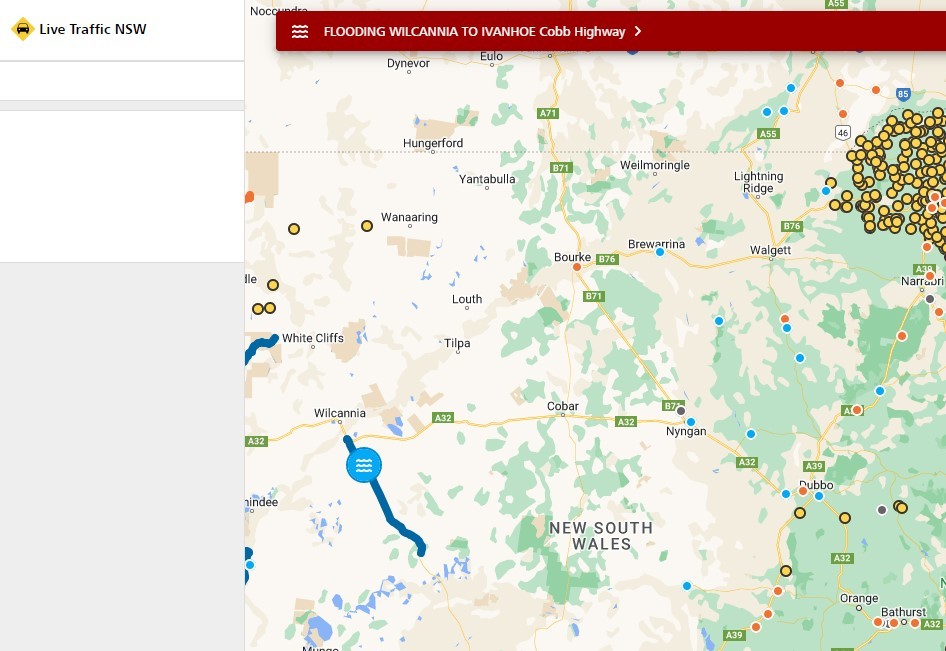
The Live Traffic NSW site shows closed roads, flooding alerts, roadworks and more.
While Cr Medcalf said there have been little discussion with councils about implementing Live Traffic NSW, he said 2024 can’t come soon enough.
“It’s certainly becoming a bit of a problem getting information out there and it needs to be more accessible.”
The only inland councils to be included in this round are Central Darling, Gwydir, Inverell, Kempsey, Moree Plains and Tamworth.
The full list of Councils will be included in the initial rollout are:
- Ballina
- Bega Valley Shire Council
- Bellingen
- Byron
- Central Darling
- Clarence Valley
- Coffs Harbour
- Gwydir
- Inverell
- Kempsey
- Kyogle
- Lake Macquarie
- Lismore
- Maitland City
- Mid Coast
- Moree Plains
- Nambucca Valley
- Port Macquarie Hastings
- Richmond Valley
- Tamworth
- Tenterfield
- Tweed


