Acting faster in disaster
Kristin Murdock
27 September 2023, 3:40 AM
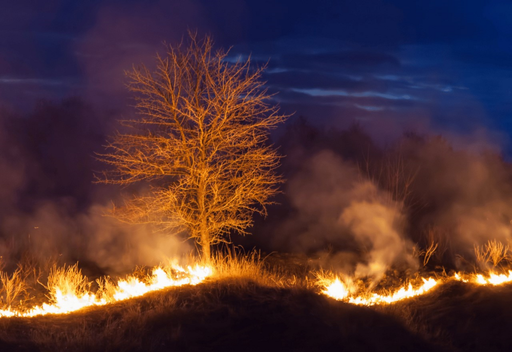
 New technology will provide up-to-date data for bushfires this summer (Image is from NASA in 2019)
With last week's official announcement of the return of El Nino, media releases have been filled with warnings about the increased risk of bushfire. Fire bans have already closed parts of the Pilliga Forest and Warrumbungle National Park in the last few days.
It's ironic then the latest innovation to help tackle bushfires comes from chilly Finland in the shape of ICEYE technology.
It's all about emergency responders having access to real time data intelligence, thanks to the Finnish satellite system that uses radar to capture accurate, high-resolution images through cloud cover and smoke haze.
ICEYE is collaborating with Australian location intelligence company, Geoscape, providing data that helps damage and response efforts during emergency events calculated quickly. Most recently, this technology was used in the Hawaiian bushfires.
“This partnership will enable our public and private-sector customers to apply a much higher data-resolution lens to their assessment of flood and bushfire events anywhere in Australia as they develop," Paul Barron, ICEYE Global Head of Partnerships, said.
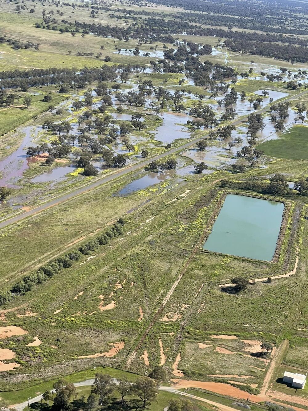
ICEYE have already cast their superior imagery resources across the Western Plains, having been used since October 2022, to analyse large-scale flood events.
“The combination of ICEYE’s rapid and verifiable observation data and the latest location intelligence from Geoscape delivers an incredibly powerful response capability to government agencies and insurance companies that will significantly enhance their response efforts,” Mr Barron said.

Shaun Bennett, Director of Data Solutions at Geoscape said planning, response, and recovery efforts for major events like bushfires and floods will be enhanced.
"This partnership will significantly improve the efficiency and speed of these activities," he said.
While regions will hope to not need the resources of ICEYE and Geoscape, the Australian Fire Authorities Council's seasonal bushfire outlook is concerning. They warn the climate has shifted "significantly" since last spring, with the Bureau of Meteorology predicting above-average temperatures and below-average rainfall.
The heavier rain in recent years has also contributed to increased fuel growth around the country. Large areas of central and northern NSW are expected to see an increased risk of fire in spring and hazard reduction burns will be undertaken where permitted.

Environmental scientist and bushfire researcher, Professor Delene Weber says that while we can't change the climate pattern in the short term, we can get our families, homes and properties ready before summer.
"We can take time to make sure our Bushfire Survival Plans are up to date, and that everyone in the house is aware of the plan and knows what they can do if they are together or alone in the home if an incident occurs," she says. "It may sound over-zealous, but assigning a day and rehearsing your bushfire plan, could help you identify areas for improvement and importantly, that rehearsal could be invaluable if you were to experience a fire.
"Lastly, talk to your neighbours. It takes a community to make an area bushfire safer. Consider offering to help people with mowing, pruning or clearing gutters, or give them a link where they can find useful information.


