Tense time for Warren as floodwaters continue to rise
Lucy Kirk
12 October 2022, 3:48 AM
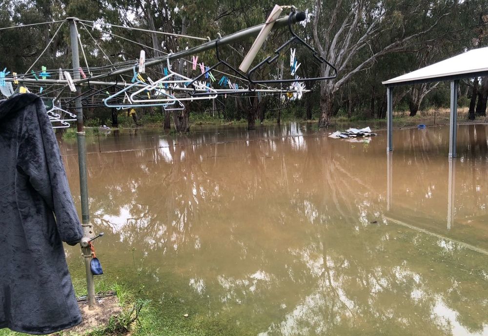
 This carport down Udora Road near Warren was out of water this morning and covered by 2.30pm today. PHOTO SUPPLIED.
By Lucy Kirk and Lee O'Connor
A major flood warning has today been issued for Warren residents where the Macquarie River is expected to peak near 9.75 metres late tonight, ahead of more rain tomorrow or Friday.
The NSW SES warned yesterday that the town of Warren is at risk of short-term isolation due to potential road closures in and out of Warren, however, that is not the case yet.
Many residents on the town outskirts and beyond are marooned and are watching waters rise, while preparing worse to come.

"This is our fourth flood this year and we are isolated now and using our boat to get to town," said one resident who lives on Eudora Road between the Macquarie River and Ewenmar Creek.
"The Macquarie has broken its banks near the intersection of the Wambiana Road, which didn't happen last time, so all that water is coming across country."
"Fortunately we are on the river so we can get off our property with a boat. We've been taking our son and the neighbour's children to school each day and picking up groceries for our elderly neighbour."
"It's harder for those away from the river where the water is not quite high enough for a boat, or they don't have a boat, but is too deep for vehicles or quad bikes."

While the highway to Gilgandra is cut and closed not far from Warren, the road to Nevertire remains open at this time.
WaterNSW reports Burrendong Dam is currently 138.1% and falling, but releases from Burrendong Dam were about 50,000ML/day, as at 1:00pm on Monday, suggesting more water is still on the way.
"People are getting very edgy now I think," the resident said. "There are so many unknowns."
"As well as the dam releases, there's the water that's escaping around the Gin Gin area and coming from the Talbragar which is unmetered, so there's an unknown amount of water coming," they said.
"Now we're thinking about how wet it is already and what's the coming rain going to do."
Rural residents are now well-isolated, including down the Bullagreen Lane where helicopters have been delivering supplies to remote mailboxes, and families then ride on jetskis, tinnies and quad bikes to collect.
Current road closures around Warren
- ALL unsealed roads
- SH11 Oxley Highway (Warren to Gilgandra) closed between Warren and the Five Mile Cowal, approximately 6km from Warren;
- RR202 Marthaguy Road closed at Braemar Bridge and at SH11 Oxley Highway intersection;
- R66 Wambianna Road (back road to Dubbo) closed from “Rosedale” and including Reddenville Break to the Narromine Shire;
- R64 Ellengerah Road closed from Rifle Range Road intersection south to and into Narromine Shire;
- R23 Gradgery Lane (whole road);
- R81 Kiameron Road (whole road);
- SR36 Gibson Way (whole road);
- R333 Carinda Road closed 160km north of Warren, at the intersection of the Carinda/Brewarrina Road turnoff;
- R91 Industrial Access Road closed between Carinda Road and Oxley Highway;
- R3 Canonba Road (whole road);
- R68 Bundemar Road closed at Paringa causeway and Stoney Creek Crossing;
- R7515 Warren Road closed at Tenandra Bridge and at the intersection of RR22 Marthaguy Road;
- R37 Collie Road closed within Narromine Shire;
- R35 Bourbah Road closed at Collie Bridge;
- R83 Rifle Range Road (whole road); and
- R73 Udora Road (whole road).
Roads open with extreme caution:
- RR333 Carinda Road - water over road in floodways.
Please check Live Traffic NSW and Warren Shire Council's Road Conditions for the latest updates on roads.

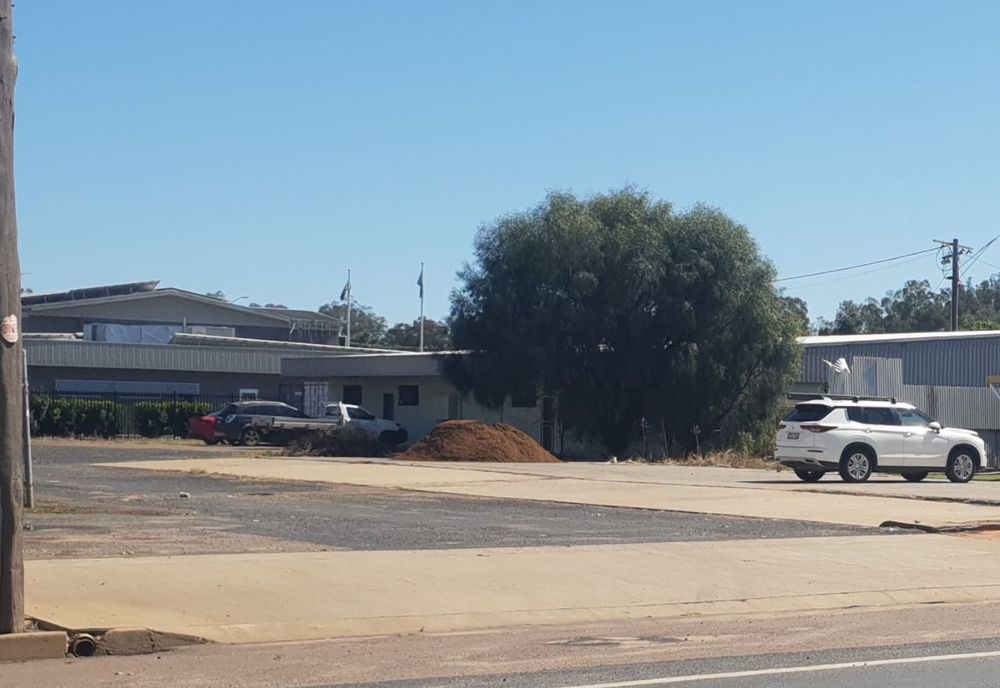
Warren Shire Council's self-service sandbagging depot.
Sam Midgley, Warren's SES Unit Commander says her team are doing everything they can to mitigate the risk to Warren locals.
"We’re busy laying sandbags and we could be going for the next twelve hours," she said.
In addition to sandbags distributed by the SES, Warren Shire Council has established two locations where residents can go to fill sandbags if they are required, one at Ebert Park, River Avenue, Ravenswood, and the other next to the NAB Bank, Burton St, Warren.
When using self-service sandbag depots, remember to bring your own shovel, and only take what you need.

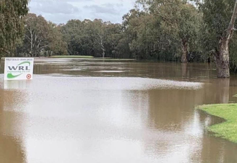
A fairway at Warren Golf Course today.
The SES ask that Warren locals be on high alert and continue to follow flood safety advice:
In life threatening emergencies, call 000 (triple zero) immediately. If you require rescue, assistance to evacuate or other emergency help, ring NSW SES on 132 500.
* Avoid drowning. Stay out of rising water, seek refuge in the highest available place.
* Prevent damage to your vehicle. Move it under cover, away from areas likely to flood.
* Avoid being swept away. Stay out of fast-flowing creeks and storm drains.
* Never drive, ride or walk through flood water. Flood water can be deceptive and dangerous.

